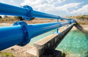
India operates one of the largest irrigation systems in the world, with thousands of dams, reservoirs, canals, pumping stations, pipelines, and lift irrigation projects supporting millions of farmers. However, these assets are often managed independently by different agencies using disconnected information systems. Water allocation decisions frequently rely on manual reports, delayed communication, and historical schedules instead of real-time conditions. A National Digital Irrigation Command Centre Infrastructure can integrate every major irrigation asset into a unified digital platform that enables intelligent and efficient water management across the country.
The command centre would function as the digital brain of India’s irrigation network. Every reservoir, canal gate, pump station, water treatment facility, and distribution channel would continuously transmit operational information to regional and national control centres. Engineers could monitor water movement across entire river basins from a single interface.
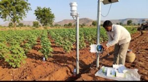
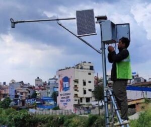
Internet of Things sensors would provide continuous measurements of reservoir levels, canal flow rates, pipeline pressure, pump performance, rainfall, groundwater levels, and soil moisture. Instead of depending on periodic inspections, irrigation managers would receive live information every minute. This significantly improves decision making during both normal operations and emergencies.
Artificial intelligence would analyse the incoming data and recommend optimal water distribution strategies. The system could estimate irrigation demand using crop type, cultivated area, weather forecasts, evaporation rates, soil conditions, and seasonal rainfall predictions. Water releases from reservoirs could then be adjusted according to actual agricultural requirements rather than fixed calendars.
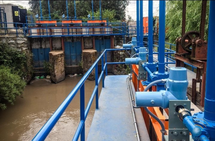
Automatic gate control represents another major advancement. Canal gates equipped with intelligent actuators can respond to digital instructions from the command centre. When downstream demand increases, gates can be opened gradually while maintaining stable flow conditions throughout the canal network. This reduces water losses and improves delivery accuracy.
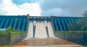
Flood management also becomes more effective. During periods of heavy rainfall, the command centre receives continuous updates from weather radars, river gauges, reservoir sensors, and satellite observations. Artificial intelligence simulates possible flood scenarios and recommends controlled reservoir releases that minimize downstream flooding while maintaining dam safety.
Drought management benefits equally from predictive analytics. When rainfall deficits develop, the platform estimates available water resources months in advance. Governments can prioritize drinking water, irrigation scheduling, industrial demand, and environmental requirements using objective data rather than emergency decisions made after shortages become severe.
Groundwater conservation becomes part of the integrated system. Observation wells equipped with digital sensors continuously measure groundwater levels across agricultural regions. By combining groundwater information with canal supplies and rainfall data, authorities can encourage balanced water use and reduce excessive groundwater extraction.
Farmers become connected participants in the irrigation infrastructure through mobile applications. They receive notifications about scheduled water releases, irrigation timing recommendations, expected canal maintenance, rainfall forecasts, and emergency advisories. Better communication reduces uncertainty while improving farm planning.
Energy efficiency also improves. Pumping stations consume substantial electricity throughout irrigation networks. Digital infrastructure continuously monitors motor performance, energy consumption, pressure conditions, and equipment health. Artificial intelligence identifies opportunities to reduce electricity usage without affecting water delivery.
Agricultural productivity increases because water reaches farms more reliably. Crops receive irrigation according to actual growth stages rather than irregular schedules. Better timing improves yields, reduces water stress, and allows farmers to optimize fertilizer application.
Research institutions gain access to valuable operational data covering water movement, irrigation efficiency, climate interactions, and crop response. Scientists can develop improved irrigation models that further strengthen national water management policies.
State governments benefit from standardized digital infrastructure. Instead of maintaining isolated systems, states can exchange information through interoperable platforms while retaining operational control over local irrigation projects. River basin coordination becomes more efficient when neighbouring states share reliable data.
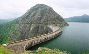
The command centre also supports infrastructure maintenance. Sensors installed on dams, canals, bridges, pipelines, and pumping equipment detect structural changes, vibration, leakage, corrosion, and mechanical wear. Maintenance teams receive early warnings before failures become expensive repairs.
Climate change makes intelligent irrigation management increasingly essential. Rising temperatures, changing monsoon patterns, and more frequent extreme weather events require flexible systems capable of responding rapidly. Digital command centres provide continuous situational awareness that helps agriculture adapt to uncertain environmental conditions.
India has already demonstrated global leadership in building large-scale digital public infrastructure. Extending this capability to irrigation management would modernize one of the country’s most critical agricultural systems. A National Digital Irrigation Command Centre Infrastructure would improve water efficiency, strengthen food security, reduce operational costs, support sustainable agriculture, and ensure that India’s water resources are managed with greater precision, transparency, and resilience for future generations.