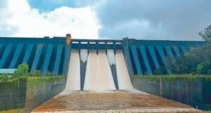
River embankments are among the most important flood protection structures in monsoon climate regions. They protect cities, villages, agricultural land, industries, highways, and railway networks from overflowing rivers during periods of intense rainfall. Every year, however, prolonged monsoon rains weaken embankments through erosion, seepage, soil saturation, burrowing animals, vegetation growth, and structural ageing. Small defects often develop unnoticed until a sudden breach results in widespread flooding and extensive economic losses. Conventional embankment inspections rely on periodic field visits and visual assessment, making it difficult to identify hidden problems before failure occurs. Industry 4.0 provides an intelligent solution by transforming embankments into continuously monitored infrastructure capable of detecting early warning signs and supporting predictive maintenance.
Industry 4.0 integrates artificial intelligence, the Internet of Things, cloud computing, digital twins, robotics, drones, edge computing, and predictive analytics into connected infrastructure systems. Applied to flood protection embankments, these technologies create a real time monitoring environment that continuously evaluates structural health and environmental conditions.
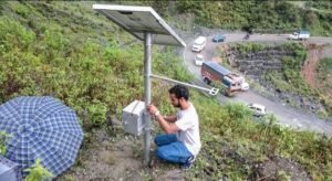
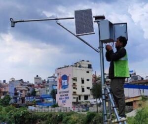
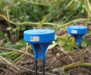
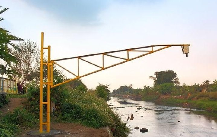
The first step in developing a smart embankment is the installation of IoT sensors throughout the structure. Moisture sensors measure water penetration into the embankment body, while pore water pressure sensors monitor internal hydraulic conditions. Ground movement sensors detect settlement and deformation, and strain gauges identify unusual structural stress. Water level sensors installed on both sides of the embankment continuously measure river conditions and floodwater levels. Weather stations record rainfall intensity, wind speed, humidity, and temperature to support environmental analysis.
All sensor information is transmitted continuously to cloud based monitoring platforms. Artificial intelligence analyses the incoming data by comparing it with historical performance records, soil properties, rainfall history, river discharge, and previous flood events. Machine learning algorithms identify subtle patterns that may indicate internal erosion, excessive seepage, foundation instability, or slope failure long before visible damage appears.
Digital twin technology further improves embankment management by creating a virtual representation of the entire flood protection system. Engineers simulate extreme rainfall, rising river levels, prolonged flooding, and different maintenance strategies to understand how the embankment will respond under changing conditions. Weak sections can be identified before the monsoon season, allowing preventive strengthening work to be completed in advance.
Drone technology provides rapid inspection capabilities following heavy rainfall. High resolution aerial imagery allows engineers to identify erosion, cracks, surface settlement, vegetation encroachment, blocked drainage channels, and animal burrows across long stretches of embankment. Artificial intelligence automatically analyses the images and prioritises locations requiring immediate field inspection.
Computer vision improves inspection efficiency by comparing new drone images with historical photographs. Even minor changes in surface conditions become visible through automated image analysis, enabling maintenance teams to detect problems that would otherwise remain unnoticed.
Satellite technology extends monitoring across entire river basins. Satellite radar systems measure gradual ground movement with remarkable precision, allowing authorities to detect slow deformation occurring over months before significant structural failure develops. Satellite observations also monitor river width, flood extent, land use changes, and sediment movement affecting embankment stability.
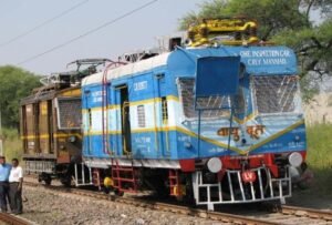
Autonomous ground robots can inspect embankment surfaces carrying cameras, laser scanners, thermal sensors, and ground penetrating radar. These robots identify hidden voids, internal moisture accumulation, and underground structural defects without exposing inspection teams to hazardous conditions during floods.
Cloud computing enables coordination among irrigation departments, flood control agencies, disaster management authorities, weather services, local governments, and emergency response organisations. Shared access to real time monitoring data improves flood preparedness and supports faster decision making during extreme weather events.
Edge computing increases operational resilience by allowing local monitoring stations to continue processing sensor data even if communication with cloud platforms is interrupted during storms. Critical warning systems remain operational, ensuring authorities continue receiving alerts when dangerous conditions develop.
Predictive maintenance changes the philosophy of embankment management. Instead of waiting until visible deterioration appears, artificial intelligence estimates the remaining structural health of different embankment sections and recommends maintenance based on actual operating conditions. This approach reduces repair costs while extending infrastructure life.
India has thousands of kilometres of river embankments protecting densely populated floodplains along major rivers including the Ganga, Brahmaputra, Kosi, Mahanadi, Godavari, Krishna, and many others. Monsoon rainfall places enormous pressure on these structures every year. Smart embankment monitoring systems would strengthen flood resilience while reducing the likelihood of catastrophic embankment failures.
Agricultural regions would benefit significantly because embankments protect fertile farmland from seasonal flooding. Reliable flood protection improves crop production, supports rural livelihoods, and reduces economic uncertainty for farming communities.
Industrial zones located near rivers also gain greater operational security. Manufacturing plants, logistics centres, warehouses, ports, and power stations depend on effective flood protection to maintain continuous operations during the monsoon season.
Implementation requires investment in sensor deployment, communication infrastructure, cloud platforms, artificial intelligence software, and skilled technical personnel. Predictive models depend on high quality environmental and engineering data collected over long periods. Strong cybersecurity measures are also necessary because flood protection systems increasingly become digitally connected critical infrastructure.
Community participation remains valuable despite technological advances. Local residents often observe seepage, small cracks, unusual water flow, or animal activity before instruments indicate significant structural changes. Mobile reporting applications allow these observations to strengthen digital monitoring systems while improving public awareness of flood safety.
Industry 4.0 is transforming embankment management from periodic inspection into continuous structural intelligence. By combining artificial intelligence, IoT sensors, drones, satellites, robotics, digital twins, cloud computing, and predictive analytics, governments can identify weaknesses before failures occur, reduce flood risks, improve maintenance efficiency, and strengthen the resilience of communities living in monsoon climate regions. As rainfall patterns become more unpredictable, intelligent embankment monitoring will become an essential foundation for modern flood management and sustainable infrastructure protection.