India’s quarrying industry supplies the stone, aggregates, granite, marble, limestone, and construction materials that support highways, railways, ports, airports, housing projects, dams, and industrial infrastructure. Despite its importance, quarry governance often depends on periodic field inspections, manual reporting, and fragmented state level databases. As construction demand grows, India has an opportunity to build a digital governance framework that uses real time technology to improve transparency, regulatory compliance, and environmental stewardship.
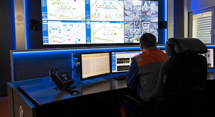
A national digital governance platform would connect quarry operators, mining departments, environmental regulators, district administrations, transport authorities, satellite monitoring agencies, and law enforcement through a unified digital ecosystem. Every licensed quarry would have a verified digital profile containing lease boundaries, production limits, environmental approvals, inspection history, and operational status.
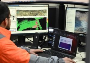
One of the most significant innovations would be satellite based governance. High resolution satellite imagery updated at regular intervals can automatically monitor quarry boundaries, excavation progress, waste dumping, vegetation loss, and nearby land use changes. Regulators would receive alerts whenever excavation extends beyond approved lease areas or when significant land changes occur without authorization.
Artificial intelligence would strengthen this system by comparing satellite imagery with approved quarry plans. AI could detect unusual excavation patterns, unauthorized expansion, abandoned pits, or environmental damage that may require inspection. Instead of depending only on physical visits, regulatory agencies could prioritize inspections based on objective digital evidence.
Drone integration would further improve governance. Licensed inspections using drones can generate detailed three dimensional maps of quarry sites, measuring excavation depth, slope stability, stockpile volumes, and rehabilitation progress. These digital surveys provide far more accurate information than traditional manual reporting.
Environmental governance would also become more effective. Connected sensors installed around quarry sites could continuously monitor dust levels, noise, ground vibration, groundwater conditions, and air quality. Real time environmental dashboards allow regulators to verify compliance while enabling quarry operators to respond quickly when limits are exceeded.
Transportation oversight is another important component. Digital permits linked to GPS enabled transport vehicles can verify that extracted materials originate from licensed quarries. This improves traceability while reducing opportunities for illegal extraction and unauthorized transportation.
Citizen participation can also become part of the governance framework. Local communities could report excessive dust, unsafe blasting, damaged roads, or suspected illegal quarrying through secure digital applications. Reports would be supported by geolocation and integrated into official inspection systems.
Financial transparency improves through integrated reporting. Governments can monitor royalty payments, production volumes, environmental restoration funds, and operational performance through digital dashboards. Automated reporting reduces administrative work while strengthening revenue collection.
Cybersecurity remains essential because quarry governance involves commercially valuable geological information, licensing records, environmental data, and financial reporting. Secure authentication, encrypted communications, and resilient infrastructure protect both industry participants and government agencies.
Data generated through the platform also supports long term planning. Authorities can analyze construction material demand, regional production capacity, environmental impacts, transportation patterns, and infrastructure development to guide future licensing decisions and sustainable resource management.
India’s rapid infrastructure expansion requires a steady supply of construction materials, but it also requires stronger governance to ensure responsible extraction. Digital technologies provide regulators with tools that were unavailable only a few years ago.
A digital governance framework for the quarrying industry is not simply about improving compliance. It is about creating a transparent, data driven system that balances economic development with environmental protection. By combining satellite monitoring, artificial intelligence, drone surveys, connected sensors, and secure digital platforms, India can modernize the governance of one of its oldest extractive industries while ensuring sustainable development for the future.